

– “What struck me in walking on to the plowed Chualar barley pattern on January 2nd was finding the smooth bends of the crop flat at the soil level like the ‘magic bends’ of English crop formations.”
- Shawn Randall, Crop Formation Researcher, Woodland Hills, Calif.
– “On July 8, 2014, 192 days from December 28, 2013, when the pattern was first discovered - in the inner solar system Earth will be at the 1 o'clock position , Venus will be at the 9 o'clock position and Mars will be at the 2 o'clock position.”
- Mark Wood, U. S. Naval Flight Officer Captain
Return to Part 1.
Return to Part 2.
Background:
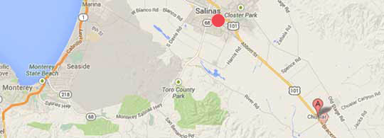
Echelon Security in San Jose, California, on Tuesday, December 31, 2013, confirmed for Monterey County Herald reporter Phillip Molnar that Echelon security guards were hired on Saturday, December 28, 2013, to protect the barley pattern in the field after it first appeared that morning. Chualar residents told field researchers Jeff Krause and David Mendez that dogs barked all night before the pattern appeared and later that people with ropes were measuring in the pattern on Sunday, December 29, 2013.
© 1998 - 2026 by Linda Moulton Howe.
All Rights Reserved.