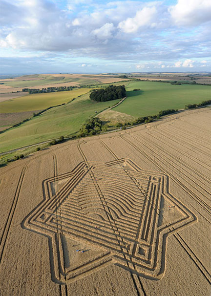
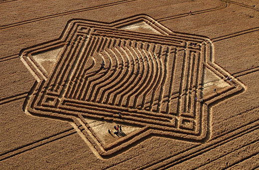
Mysterious 3D Wheat Grid and Aerial Light in Wiltshire, U. K.

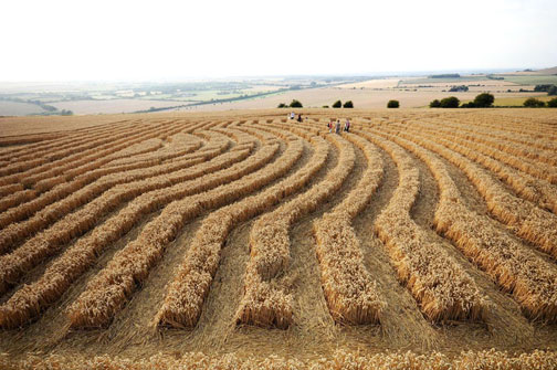
“When I walked into the Whitefield Hill formation the morning of August 4, 2010, everywhere I could see most of the seed heads in the flattened crop were straight relative to the heavily curled seed heads in the standing crop. … That seemed to be physically impossible.”

- Charles Mallett, Silent Circle Information Center, Yatesbury, Wiltshire, U.K.


Created on a slanted hillside, the large, 250-foot-diameter  Whitefield Hill “3-dimensional” wheat formation near Woodsend about six miles north of Marlboro, Wiltshire, England, was reported August 3, 2010. Aerial image © 2010 by Olivier Morel. See more images and information:   Cropcircleconnector.com.
Whitefield Hill is near Woodsend, Wiltshire, (red circle map center) about six miles north of Marlborough. Southeast of Woodsend are the ancient stone circles of Avebury and Silbury Hill, the largest, artificially constructed hill in Europe (red circle in lower left). To the southeast of Woodsend is Hungerford and the nearby M4 motorway where the two “grid and dots” crop patterns were discovered north and south of the M4 on July 30, 2010. See: 080410 Earthfiles.
Above and below: Fifteen rows of standing wheat of varying widths made up the “3-D sphere” inside the square grid turned on an angle to another square. Ground pole shot © 2010 by Photopole. Aerial © 2010 by Frank Laumen.


August 22, 2010  Yatesbury, Wiltshire, England -

Mysterious crop circles associated with balls of light moving in the air across fields have been reported in England since at least World War I. The modern age of crop formations emerged in the late 1970s around Warminster, England, and evolved through the 1980s from single circles to simple patterns of a few circles to the astonishing geometries, fractals and other complex patterns in the 1990s and through the first decade of the 21st Century.


Click here to subscribe and get instant access to read this report.

Click here to check your existing subscription status.

Existing members, login below:


© 1998 - 2024 by Linda Moulton Howe.
All Rights Reserved.