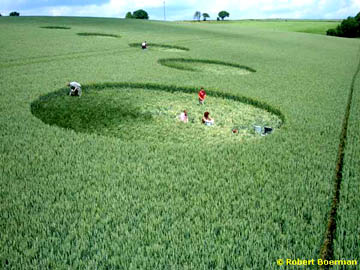
August 12, 2004 – Since June 22, 2004, Belgium has had three reports of circles. Robert Boerman who produces the Dutch website, dcca.nl, e-mailed me the following comments in English about the Belgium incidents and talked with me by phone about two formations in Holland that he thinks are genuinely mysterious.
Belgium Crop Formations – Genuine and Hoaxes?
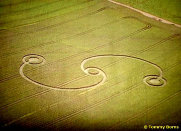
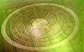
1) Heers, Limburg, Belgium – June 22, 2004
“Pictogram of three ring circles connected by arcing pathways in wheat. Dimensions unknown. Could be genuine.”