You can hear Real Audio of this report provided by 1090WJKM Radio Cedar Vine Manor, Lebanon, Tennessee
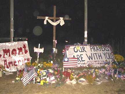
February 2, 2002 Shanksville, Pennsylvania - After September 11, 2001, the nation heard about cell phone calls from some of the passengers on United Flight 93 to loved ones, warning that terrorists had taken over the plane. One man told his wife that he and others were going to take action against the terrorists.