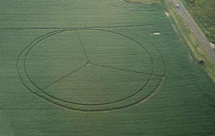
October 3, 2003 Bainbridge, Ohio –
-
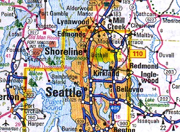
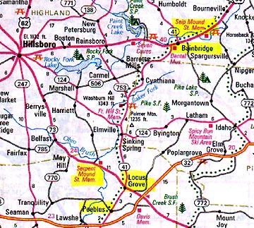
Serpent Mound
“JEFF, WHEN WE TALKED LAST WEEK OF SEPTEMBER, IT WAS BECOMING CLEAR THAT THERE HAS BEEN MORE MILITARY FOCUS ON THE SERPENT MOUND FORMATION.
Yes, I heard two stories in the past week about people who had gone to visit the Locust Grove, Adams County formation located just near the Serpent Mound. One gentleman said he was just out there on Sunday and there was a military helicopter that came over and hovered over the site less than 1000 feet up and then made several circling passes over it before it left. And I did hear kind of a vague report from someone who lives in the area that they were out at the formation site where they have not been allowing visitors into the formation. We were only allowed out there because of our agreement with the landowners.Click for report.